When Singaporeans talk about taking the train they usually refer to the MRT. However, there once was a rail service running across the island.
Railway construction in Malaya started towards the end of the 19th century, mainly facilitating the tin and rubber industries. Plans to connect the line from what is today Malaysia to Singapore had been mooted ever since. Finally, in 1903, the first section of the Singapore-Kranji Railway Line opened, connecting Kranji with Tank Road (near Fort Canning). It’s interesting to imagine that trains once ran through Holland Village and what is today Orchard Road. In Tanjong Pagar, I walked through Duxton Plain Park many times, never realizing it follows an old rail line. The bridge at Neil Road (next to Shake Shack) is one of the few remnants still visible today.
In the North, the original line was soon extended to Woodlands and from 1907 it also continued to the harbours of Pasir Panjang in the South. The Straits Times quickly saw bus transport to Kranji doomed “as the railroad is cheaper, quicker, cleaner and better in every way”. Crossing the Johor Strait still required ferry boats until the Causeway had been completed in 1923. In those days, the popular line saw its heaviest traffic on Sundays when gambling operators paid the return fares for patrons from Singapore travelling to Johor.
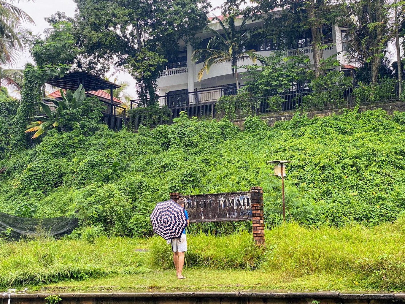
In 1932, part of the original line was closed. Trains now stopped at a newly built station in Bukit Timah and continued via Alexandra and Tanglin Halt to Tanjong Pagar. This became the line generations of Singaporeans still remember to this day.
When the final train left Tanjong Pagar in 2011, it was operated by the Sultan of Johor himself. This marked the end of the line; by the end of the year, most tracks had been removed and returned to Malaysia. Subsequently, the land was returned to Singapore too (a complicated story in itself) and became a nature trail known as the Rail or “Green” Corridor.
At 7am on a Sunday in 2020, five friends meet at an Esso gas station in Woodlands near Rainbow bridge. Here begins the Northern stretch of the former railway or, more precisely, the Northernmost part accessible to the public.
Equipped with a detailled and useful, but also 10 year old and thus outdated map (taken from The Green Corridor), we begin to trace the Rail Corridor southwards.
It’s been raining over the last couple of days, and we soon find ourselves navigating puddles of mud as we trod through the most untouched part of the corridor from Kranji towards Bukit Timah. It begins to pour again, and we just so manage to find shelter under an old bridge being hilariously underequipped with just some tiny umbrellas from 7-11. We kill time for about an hour waiting out the rain. Once it clears up, we pose for a few photos and stop for breakfast at Rail Mall.
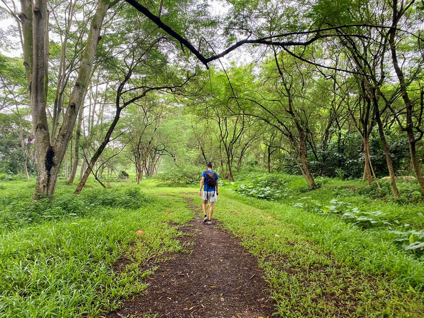
With fresh energy, we continue further to King Albert Park and the former Bukit Timah station. A water pipeline is constructed along the Northern section of the corridor, and some stretches have been temporarily closed. We stick to the trail wherever possible. From Bukit Timah, the path begins to change. Officials have recognized the Rail Corridor’s potential and efforts to redevelop it have been going on for a while. The most evident sign is that parts of it have already been paved. Apparently, leaving the Green Corridor entirely green is not an option in a city where concrete grows faster than trees and nature always needs to be tamed to some extent. On the bright side, together with the pipeline project, the government’s development plans will likely ensure that this 24 km long, largely uninterrupted stretch of nature won’t fall victim to future developments. Singaporeans, old and young, can look forward to a new community space and nature trail. Runners and cyclists (not just on mountain bikes) will also, once again, have an uninterrupted stretch of road to exercise in this unique setting.
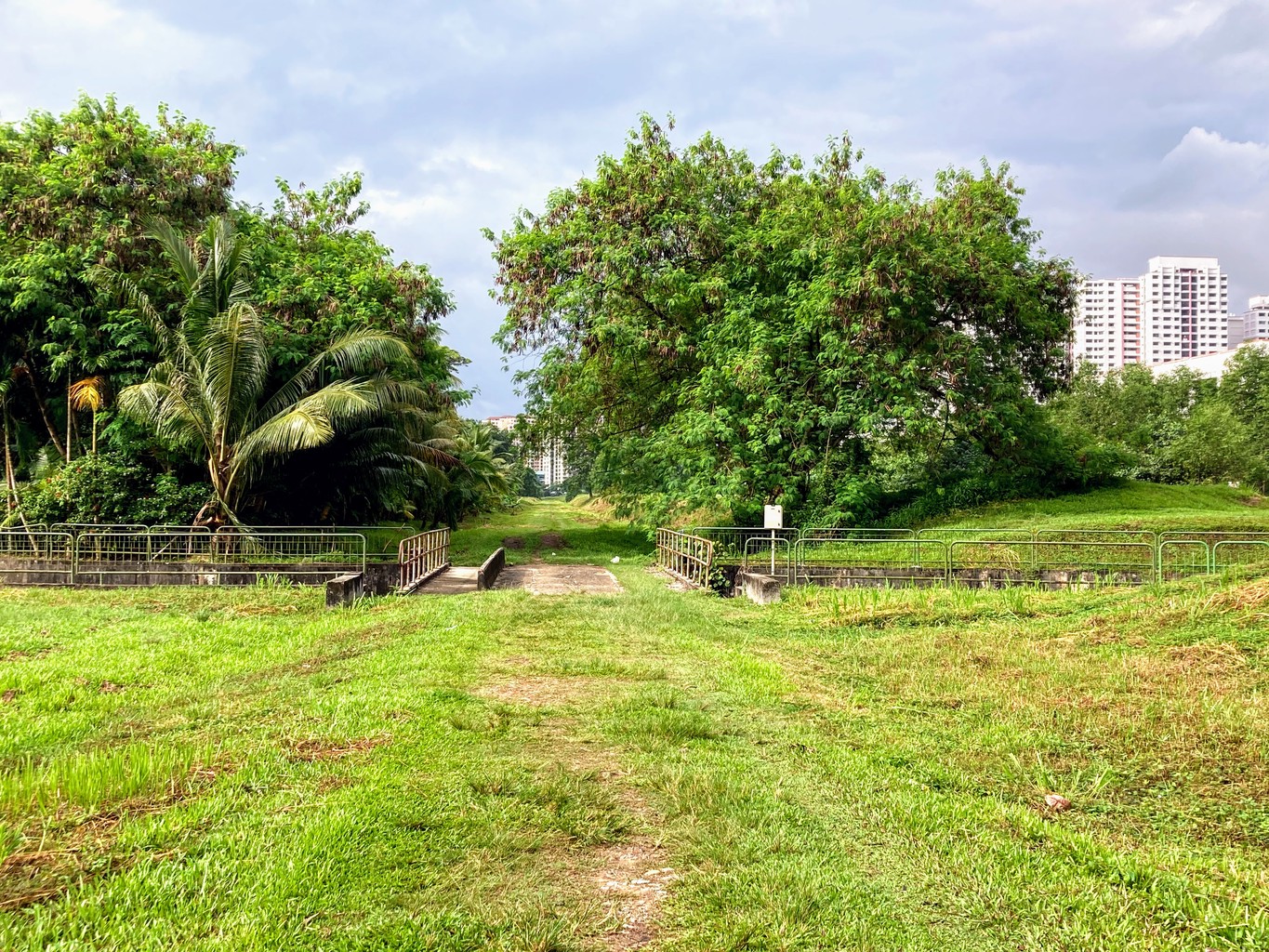
After a lunch break, we soon hit Alexandra and the old (pre-HDB) residential buildings in Tanglin Halt. Our group of five has gradually shrunk to just two walkers, but we are more eager than ever to complete the whole journey. I have been hiking along the Rail Corridor a few times but never tried to do it all in one day. Unfortunately, the final section is closed off for the construction of the Circle Line MRT. Upon its completion, the former Tanjong Pagar station building, a national monument of Singapore, will become part of the Cantonment MRT station.
In the spirit of completing our journey, we find an alternative way to Tanjong Pagar and snap our final photo after about 30 km of walking at 7:45pm outside the (currently fenced off) former station building.